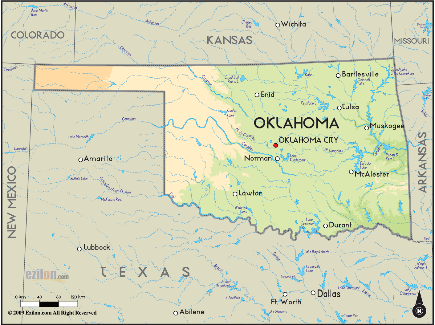
 Oklahoma
is a state that is situated on the south central part of
the U.S.A. In the 2007 census, it was found that there
are about 3,617,316 people living in this state.
Oklahoma has a land area of about 177,847 square
kilometers and it is considered to be the 20th largest
state in the country. Oklahoma
is a state that is situated on the south central part of
the U.S.A. In the 2007 census, it was found that there
are about 3,617,316 people living in this state.
Oklahoma has a land area of about 177,847 square
kilometers and it is considered to be the 20th largest
state in the country.
The Sooner State is a nickname
that some people use to refer to this state. Oklahoma
City is the largest city as well as the capital city of
this state. Oklahoma is the only state in the United
States that has the same name as its capital city.
Oklahoma is the chief producer of oil, agriculture and
natural gas. The state also depends on biotechnology,
telecommunications, energy and aviation.
Of the many
states in the country, Oklahoma is considered to have an
extremely fast developing economy. It’s GDP and income
is considered to be one of the top among the states in
United States. Of all the largest cities in the United
States, two of these cities are found in Oklahoma and
they are Tulsa and Oklahoma City.
Tulsa is the second
largest city in the state, not just in terms of area but
also in terms of population.
|