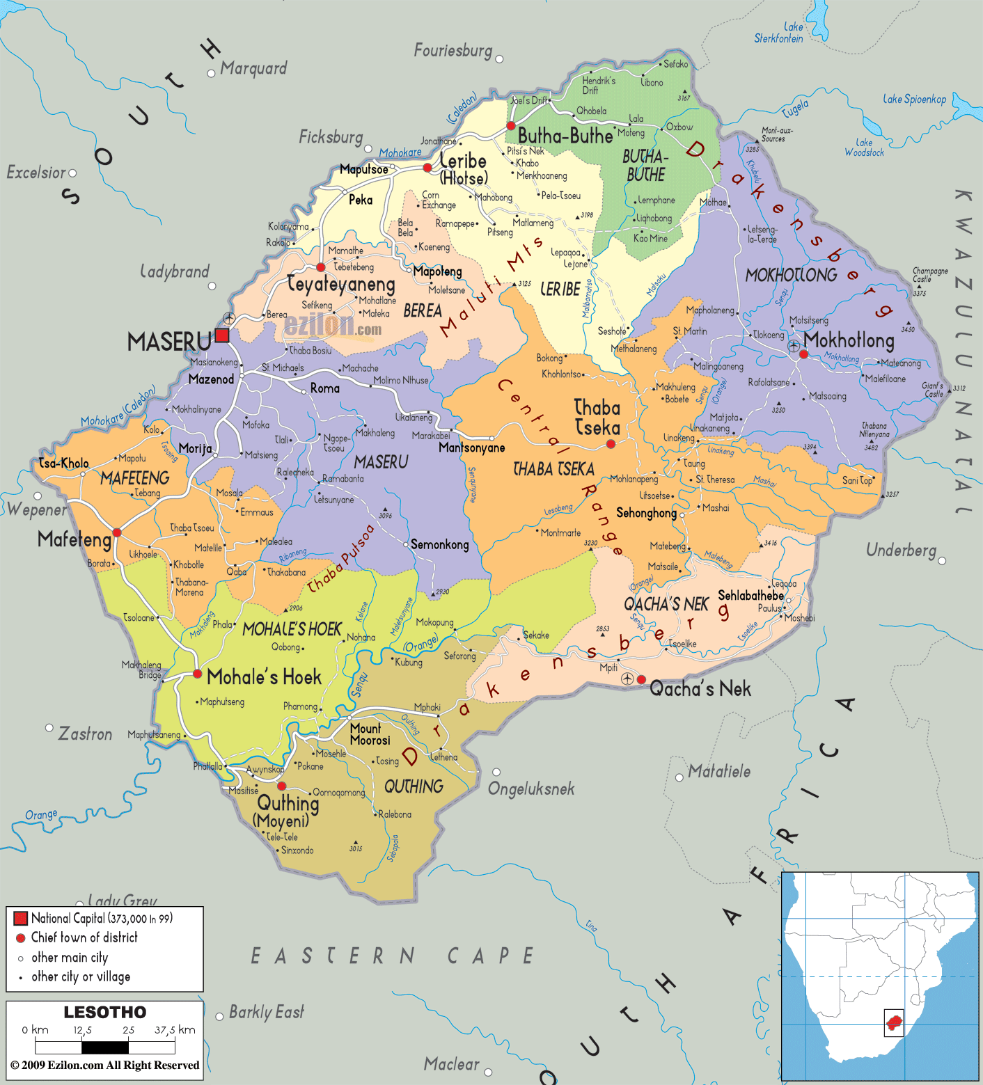

Description: Detailed large political map of Lesotho showing names of capital cities, towns, states, provinces and boundaries of neighbouring countries.
 Lesotho
is situated in Southern Africa completely surrounded by
South Africa, with Maseru as its capital. This tiny
kingdom is mostly made up of mountainous landscape, is
situated on the eastern rim of the South African
plateau. Three large rivers cut through the mountains
down to the foothill areas where most of the population
lives. The languages spoken are Sesotho and English.
The people from Lesotho are called Basotho.

Physical Map of Lesotho
Physical map and map image of Lesotho.

Road Map of Lesotho
Road map and map image of Lesotho.

Regional Directory of United States of America
Information and guide about United States of America and websites with American topics.

Regional Directory of Europe
Information and guide about Europe and websites with European topics.

Regional Directory of Australia
Information and guide about Australia and websites with Australian topics.