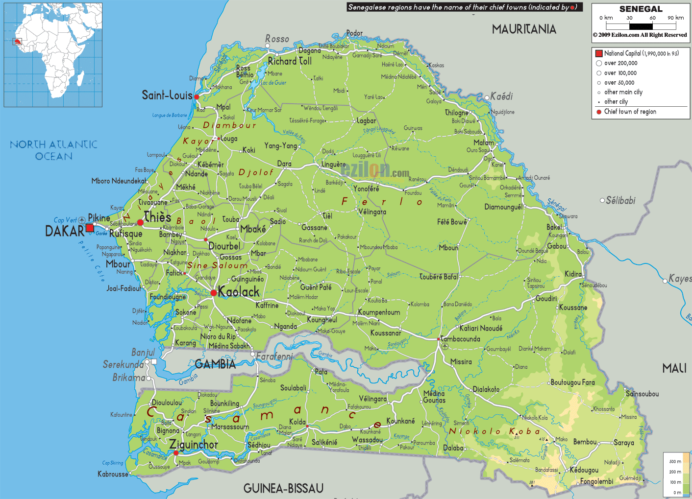
Description: The Physical Map of Senegal showing major geographical features like elevations, mountain ranges, deserts, Ocean, lakes, plateaus, peninsulas, rivers, plains, landforms and other topographic features.
 Senegal
is officially known as the Republic of Senegal and is
located in West Africa. It is the western-most country
in the Old World region, also known as the Eurafrasia.
It owes its name to River Senegal that flows in the
northeastern region. Senegal covers an area of almost
197,000 square kilometres.
Senegal
is officially known as the Republic of Senegal and is
located in West Africa. It is the western-most country
in the Old World region, also known as the Eurafrasia.
It owes its name to River Senegal that flows in the
northeastern region. Senegal covers an area of almost
197,000 square kilometres.
Senegal externally borders the Atlantic Ocean in the
west, Mali in the east, Mauritania in the north, and
Guinea and Guinea-Bissau to the south; internally it
almost completely surrounds The Gambia, namely on the
north, east and south, except for Gambia's short
Atlantic coastline.
The Cape Verde islands are situated at some 560
kilometresaway from the Senegalese coast, but Cap-Vert,
also known as the Cape Green is a maritime place-mark.
It is set at the foot of where the Les Mammelles. It is
a 105 metre cliff.

Political Map of Senegal
Political map and map image of Senegal.

Road Map of Senegal
Road map and map image of Senegal.

Regional Directory of United States of America
Information and guide about United States of America and websites with American topics.

Regional Directory of Europe
Information and guide about Europe and websites with European topics.

Regional Directory of Australia
Information and guide about Australia and websites with Australian topics.