Description: The physical map of Luxembourg showing major geographical features like elevations, lakes, plateaus, peninsulas, rivers, plains, landforms and other topographic features.
 The
Luxembourg country land is located in the northwestern
part of the European Continent which is also called the
Low Countries. The country lies between north latitudes
49 and 45 degrees and east longitudes 6 and 10 degrees.
The
Luxembourg country land is located in the northwestern
part of the European Continent which is also called the
Low Countries. The country lies between north latitudes
49 and 45 degrees and east longitudes 6 and 10 degrees.
The total area covered by Luxembourg is 2586 square
kilometer and all of it is land. The country is divided
into two geomorphic zones. The northern third is hilly
while the other two thirds are flat with a few rolling
hills.
Kneiff is the highest natural peak in the country and
measures in at 560 meters. However the second tallest
mountain is just a meter shorter and is called the
Buergplaz. All the other mountain peaks are above 500
meters in height. The location of the country
makes it a place with many forests all around. Most
trees are Oaks and Beeches.

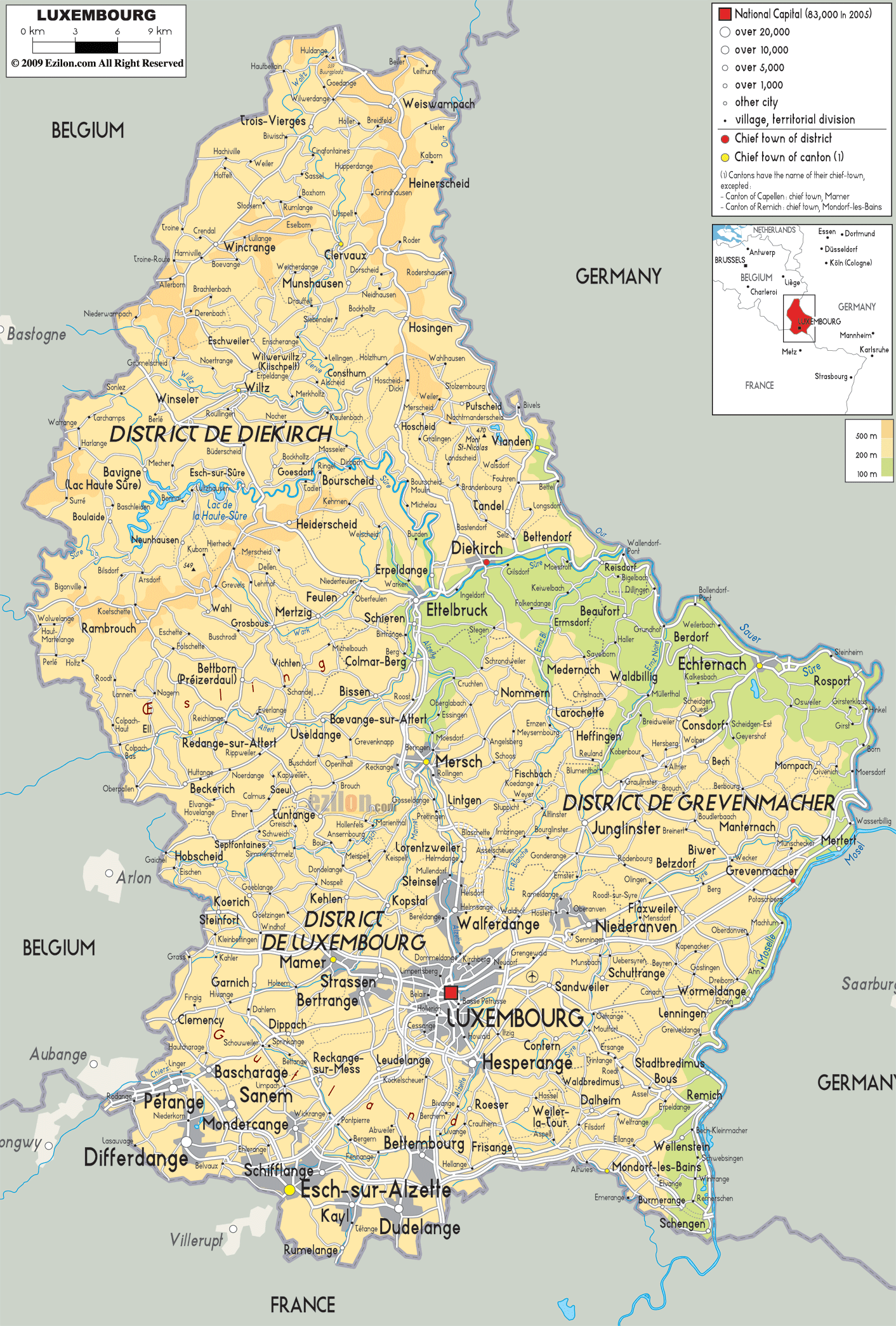
Political Map of Luxembourg
Political map and map image of Luxembourg.

Road Map of Luxembourg
Road map and map image of Luxembourg.

Regional Directory of United States of America
Information and guide about United States of America and websites with American topics.

Regional Directory of Europe
Information and guide about Europe and websites with European topics.

Regional Directory of Australia
Information and guide about Australia and websites with Australian topics.