Description: The physical map of Serbia showing major geographical features like elevations, mountain ranges, seas, lakes, plateaus, peninsulas, rivers, plains, landforms and other topographic features.
 Serbia
is a country situated in the Balkan and Pannonian Plain
region of Europe. It is a landlocked country but has
access to the Adriatic Sea through the Danube River and
Black Sea.
Serbia
is a country situated in the Balkan and Pannonian Plain
region of Europe. It is a landlocked country but has
access to the Adriatic Sea through the Danube River and
Black Sea.
The country covers an area of 88361 square kilometers.
The country has 19499 square kilometers of forests while
19194 is arable land.
The Serbian terrain is quite diverse as it has fertile
plains to the north, basins and limestone ranges to the
east while the southeast hold hills and mountains. The
northern part of the country is dominated by the Morava
River which is a tributary of the Danube River. The
central part of the country has rolling hills and a few
mountains torn by creeks and rivers.
Mountains cover most of the country. The four main
ranges are the Dinaric Alps, Carpathian Mountains,
Balkan Mountains and the Rilo Rhodope Mountain Range.
The highest peak is 2656 meters above sea level and is
called Deravica.
Most of the country’s area belongs to the Danube River
Basin and some part of it belongs to the Adriatic basin.
Danube is the longest river in the country as it runs
for 588 kilometers. The other important rivers are the
Tisa (North), Sava (West) and Drina (South).

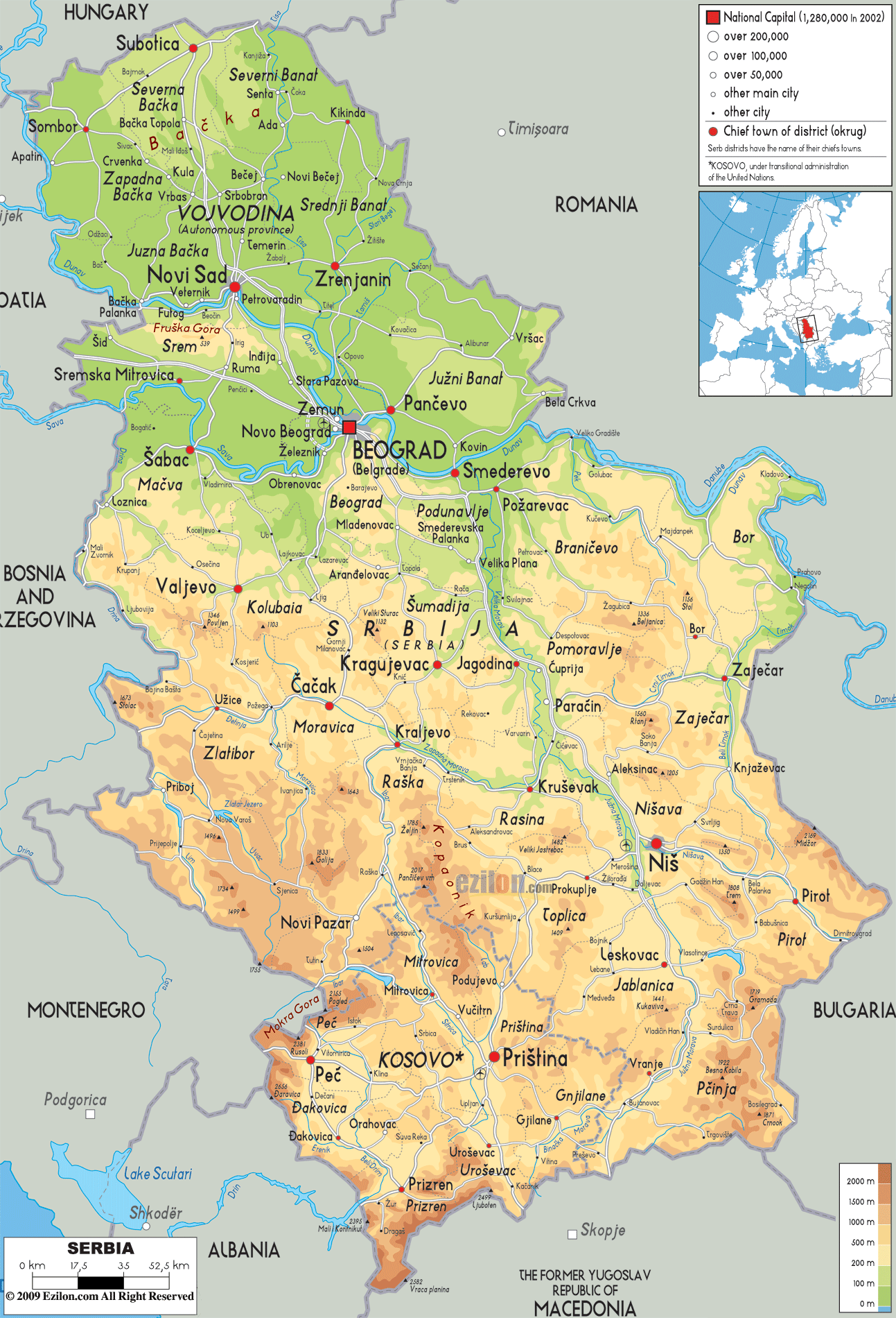
Political Map of Serbia
Political map and map image of Serbia.

Road Map of Serbia
Road map and map image of Serbia.

Regional Directory of United States of America
Information and guide about United States of America and websites with American topics.

Regional Directory of Europe
Information and guide about Europe and websites with European topics.

Regional Directory of Australia
Information and guide about Australia and websites with Australian topics.