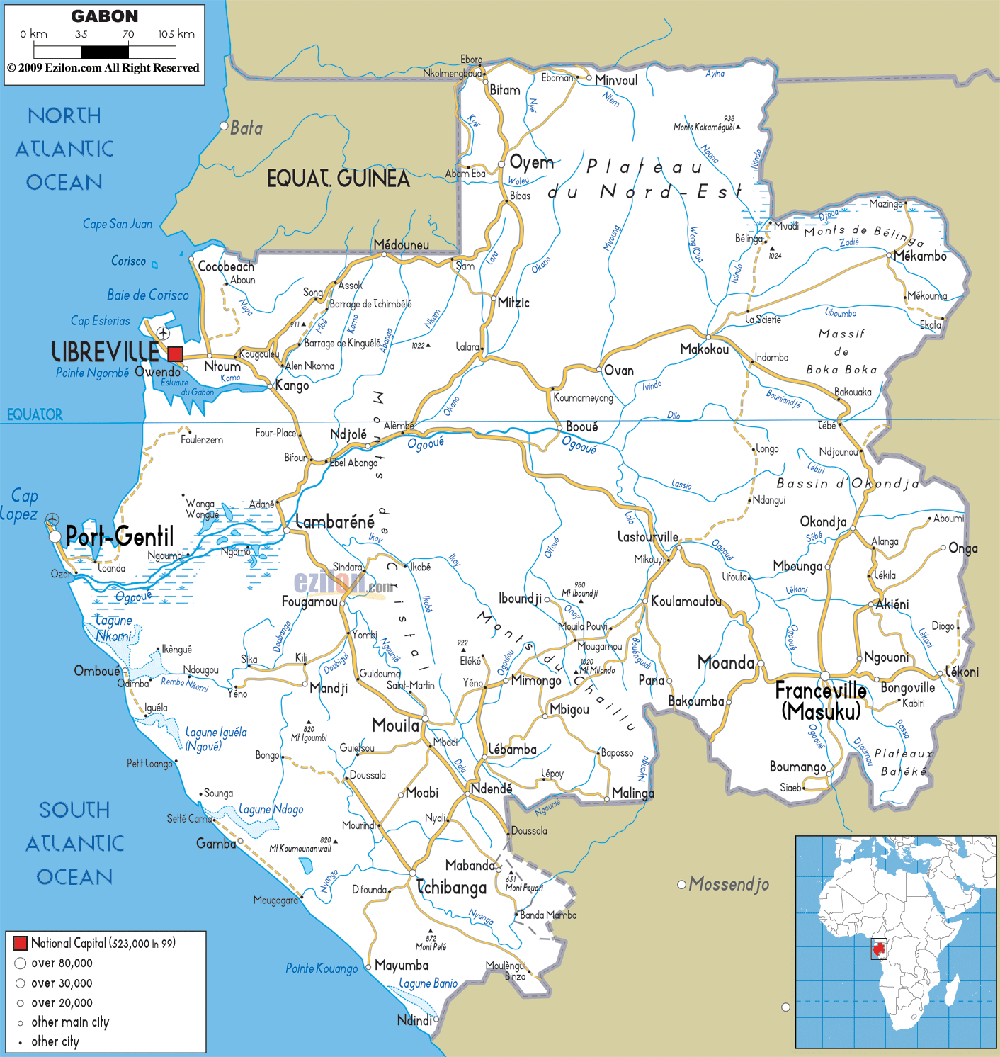
Detailed map of Gabon with Road Map of Gabon with Highways and Expressways etc. Gabon shares its borders with Equatorial Guinea, Cameroon and Republic of the Congo.
This map of Gabon with highways, expressways, and roads is already large enough to read directly on your desktop. To see a full-screen zoom view on a phone or tablet, tap the map image (or tap the Zoom Map label above the image). Scan by shading provinces in various colored blocks, with Gabon's highways and expressways in bold.
 Gabon
is situated on the West Coast of Central Africa,
bordered by Equatorial Guinea, Cameroon and the Congo.
The coast runs along 800km facing the Atlantic Ocean and
offers magnificent sandy beaches dotted with palm trees,
lagoons and estuaries.
Gabon
is situated on the West Coast of Central Africa,
bordered by Equatorial Guinea, Cameroon and the Congo.
The coast runs along 800km facing the Atlantic Ocean and
offers magnificent sandy beaches dotted with palm trees,
lagoons and estuaries.
With Libreville as its capital the country boast lush tropical vegetation covering most of the interior land, with some parts of savannah. The population speaks French and the major African language is Fang, including several other different dialects.
The people from Gabon are called Gabonese.

Physical Map of Gabon
Physical map and map image of Gabon.

Political Map of Gabon
Political map and map image of Gabon.

Regional Directory of United States of America
Information and guide about United States of America and websites with American topics.

Regional Directory of Europe
Information and guide about Europe and websites with European topics.

Regional Directory of Australia
Information and guide about Australia and websites with Australian topics.
