Description: The physical map of Belgium showing major geographical features like elevations, seas, lakes, plateaus, peninsulas, rivers, plains, landforms and other topographic features.
 Detailed Physical map of Belgium showing plains, the ardennes hills and rivers, elevations and other topographic features. From low-lying coastal plains to forested uplands and rolling valleys, Belgium's physical geography is more than just land; it is a story of rivers, elevation, borders, and biodiversity. Using the physical map of Belgium above, this guide explains about the terrain of Belgium in detail, referring to visible features, elevations, cities, and geographical points of interest. If you are a student of geography or just a traveler fantasizing about a Belgian adventure, this narrative based on a map is for you.
Let's begin our tour from the top left and gradually move across the entire map to uncover the rich physical makeup of Belgium.
Starting at the top left, you can see the North Sea forming Belgium's natural boundary. This coastline runs along the province of West-Vlaanderen (West Flanders). The land here is flat and reed land, which is characteristic of Belgium coastal plain. Cities such as Oostende, Nieuwpoort, and Knokke-Heist are located at the sea. Trade and tourism are not the only thing these regions have to offer – the flooded low-lying area, protected by dikes and sand dunes.
A noticeable feature on the map is the dense network of canals across northern Belgium, especially near Brugge (Bruges) and Gent (Ghent). This area, known as the polders, is land reclaimed from the sea and lies below sea level. The green coloration across this region on the map indicates flat agricultural lands.
As we move inland, the elevation rises subtly. The Central Plateau which occupies almost all of East Flanders as well as the Flemish-Brabant and Walloon-Brabant. Towns or cities such as Aalst, Leuven and Mechelen are located in these easy rolling lands. This region has loess soils which are good for farming. The two rivers Scheldt (Schelde) and Dyle (Dijle) which you can see on the map meander about providing important irrigation.
At the center of the map lies Bruxelles/Brussel (Brussels), nestled in a valley carved by the Senne River. The city rests at a point where low plateaus meet river valleys, forming a natural bowl. The fact that Brussels is situated in the middle of Europe and at a relatively low altitude has made Brussels a key political and economic centre.
Moving eastward, the terrain becomes more rugged. You can trace the gradual shift in color on the map from green to orange and brown, indicating rising elevation. Provinces like Liège, Namur, and Luxembourg begin to showcase the foothills of the Ardennes.
Southern and southeastern Belgium are dominated by the Ardennes, a forested plateau of ancient rock formations. The physical map highlights this area with deeper browns and elevation markings between 300 to 700 meters. St. Hubert, La Roche-en-Ardenne, Bastogne, and Bouillon are all in this hilly region. This region has thick coniferous woods, caves limestone and the winding streams of the Semois, Ourthe and Lesse, which you can see on the map. Hikers and nature lovers will find special paradise in the Ardennes.
The Scheldt River (Schelde), which flows from France through Antwerp to the North Sea, is one of Belgium's most crucial waterways. On the map, you can see it passing through Gent and Antwerpen (Antwerp). Its numerous tributaries like the Dender and Lys create a fertile delta system.
In the southeast, the Meuse River (Maas) flows from France, cutting through Namur and Liège, before heading into the Netherlands. This deep valley system is marked by steeper elevation gradients and sharp river bends, clearly seen on the physical map. Towns like Dinant and Huy hug the Meuse's banks.
Other rivers like the Sambre, Vesdre, and Amblève also shape the terrain. Their narrow valleys and ridges, especially near Eupen and Spa, offer evidence of historical erosion and glacial activity.
In the extreme south, near Arlon and Virton, the Belgian Lorraine region shows a different type of physical terrain. Here, sedimentary rock formations create rolling highlands and wide valleys. The Gaume region, near the border with France and Luxembourg, is the warmest area in Belgium, which is visually supported by its more open, less forested appearance on the map.
The Ardennes Forest, encompassing much of the southeast, is marked by its continuous green coverage. The map clearly labels parks and natural reserves like Haute Fagnes near the German border, which includes Signal de Botrange, Belgium's highest point at 694 meters.
The physical map uses color gradients to show elevation:
Green for lowlands (0–200 m)
Light orange for plateaus (200–400 m)
Brown for highlands (400 m and above)
The highest elevations appear in the southeast, while the lowest are along the North Sea coast.
The borders of Belgium, which meet Germany, Luxembourg, France, and the Netherlands, are often determined by physical geographic features. The Ardennes merge into Luxembourg's Oesling region in the south-east and the flat lands around Lille into northern France in the south.
Brugge (Bruges): Surrounded by canals and flat marshland
Oostende: Right on the beach, part of Belgium's natural sea defense
Antwerpen (Antwerp): Lies along the Scheldt River, an important port
Brussels: Located in the Senne Valley, between plateaus
Leuven: Surrounded by rolling loess hills
Charleroi: In a coal-rich basin along the Sambre River
Namur: Sits at the confluence of Sambre and Meuse, in a bowl-shaped valley
Liège: Located within a deep Meuse valley
Bastogne: Surrounded by hilly forests of the Ardennes
Arlon: On a higher plateau near Luxembourg
Maps like this are gold for planning hiking in the Ardennes, especially around La Roche-en-Ardenne, St. Hubert, and the Ourthe Valley.
Take your car on a road trip or hire a boat for a relaxing time at the Meuse and Semois. The map helps show off the meandering valleys of rivers and lakes where towns are located.
From the Hautes Fagnes plateau to the Semois Valley, the map indicates green conservation zones, important for biodiversity and eco-tourism.
This physical map of Belgium provides an extraordinary window into the land's natural structure. From lowlands to high plateaus, and rivers to forests, each feature is layered into a compact country that holds far more diversity than its size suggests.
Geography students can analyse the terrain's interaction with rivers and elevation. Travelers can use it to map routes down the valleys, up the wooded hills and through the pretty towns of Belgium. This guide, which is largely based on a detailed map reference, is intended for education and travel.
With every curve of river, every change in elevation, and every green patch of forest visible on the map, you see a Belgium that's physically rich and endlessly explorable.

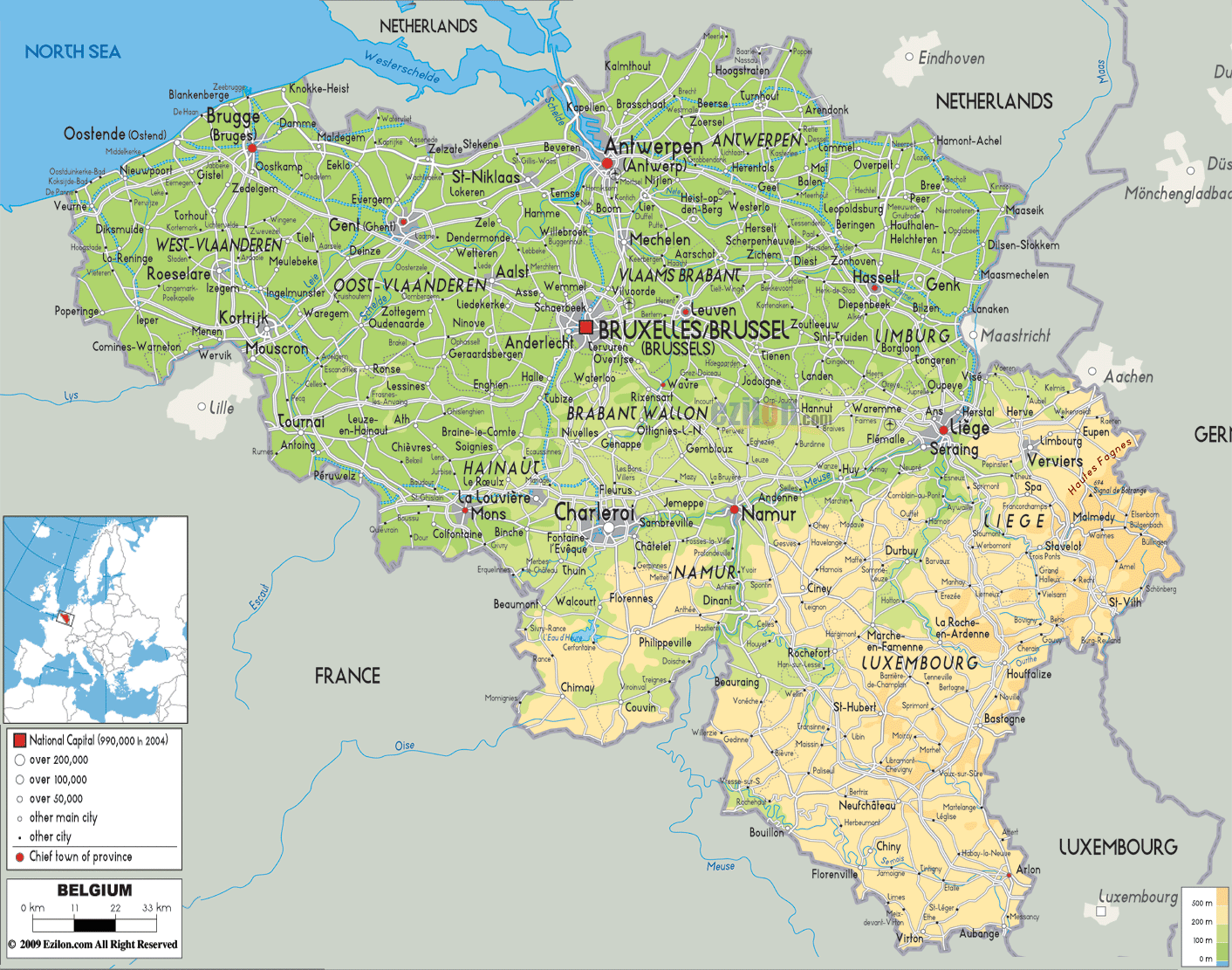
Political Map of Belgium
Political map and map image of Belgium.

Road Map of Belgium
Road map and map image of Belgium.

Regional Directory of United States of America
Information and guide about United States of America and websites with American topics.

Regional Directory of Europe
Information and guide about Europe and websites with European topics.

Regional Directory of Australia
Information and guide about Australia and websites with Australian topics.