Description: Detailed vegetation, ecoregions and forest cover of Alabama showing topography, vegetations, rivers, forests, state forests and routes.
 You're looking at a simplified vegetation-and-drainage portrait of Alabama. The solid green blanket spread across the state signals predominant forest cover, while the dense network of blue lines traces the rivers and streams that shape those plant communities. Around the edges, neighboring states are shown in a lighter background tone so your eye stays on Alabama's green canopy - from the Tennessee line to the Gulf of Mexico.
Below is a guided read so you can “walk the map” and understand what the colors and water patterns reveal about ecoregions, typical plant communities, fire regimes, and where to see each biome.
Green interior → Forest-dominated landscapes (oak–hickory, pine–hardwood, and longleaf pine systems).
Darker green swath through the middle → Higher-relief uplands with mixed hardwoods and pine, corresponding to the Appalachian foothills and Ridge-and-Valley belts.
Blue rivers radiating to the south and southwest → Major watersheds (Tennessee, Coosa–Tallapoosa → Alabama, Black Warrior–Tombigbee, Chattahoochee) feeding the Mobile–Tensaw estuary and the Gulf.
Broad blue at the coast → Mobile Bay and associated tidal wetlands; plant communities transition to salt marsh, maritime forest, dunes, and barrier-island flora.
Where on the map: The north edge near Huntsville, Florence–Muscle Shoals, and Decatur, hugging the Tennessee line. Look for: Wide valley floors cut by the Tennessee River and its tributaries. Vegetation character:
Riparian hardwoods (sycamore, green ash, river birch) along low, fertile bottoms.
On limestone knolls and well-drained fields: oak–hickory woodlands with glades.
Agricultural interludes (not colored separately here) pepper the valley margins.
Field note: The river corridor makes green fingers that stitch habitats together—great for migratory birds and bottomland species.
Where: West–central interior, trending down from Huntsville toward Jasper and Tuscaloosa. Map cue: Darker green, indicating higher relief and continuous canopy. Vegetation character:
Mixed mesophytic hardwood forests in moist coves (tulip poplar, beech, hemlock pockets).
Sandstone caprock ridges with oak–pine and shortleaf pine.
Gorge systems (e.g., Sipsey) host fern-rich ravines and waterfalls supporting mossy microhabitats.
Ecology tip: Persistent moisture from dense stream networks supports lush understories and spring wildflowers.
Where: Arc from Gadsden through Anniston and south toward Talladega/Cheaha. Map cue: A central darker band—these are the folded ridges and dissected uplands. Vegetation character:
Chestnut oak–scarlet oak on sunny ridges, hemlock and rhododendron in cool ravines.
Shortleaf and loblolly pine intermingle with hardwoods; mountain longleaf pine persists on some sandy slopes.
Fire-adapted communities on xeric knobs; mesic hardwoods in shadowed folds.
Go-see: Cheaha area for high-elevation flora and scenic pine–hardwood mosaics.
Where: Around Sylacauga, Alexander City, Auburn–Opelika. Map cue: Slightly smoother green but still upland. Vegetation character:
Oak–hickory on rolling crystalline hills;
Pine–hardwood on ridges;
Along rocky shores of impounded Tallapoosa (e.g., Lake Martin), bluff forests and granite outcrops with lichens and scrub communities.
Ecology tip: Streamside buffers here are biodiversity magnets—watch how blue tributaries on the map trace ribbons of richer, cooler habitat.
Where: The entire southern half flowing to Mobile and the Gulf. Map cue: Broad, even green with sprawling blue drainage that widens near the coast. Sub-zones you’ll meet:
Black Belt Prairie (Dallas, Perry, Marengo, Lowndes): Historically open chalk prairies and oak groves; today a mosaic of fields, prairie remnants, riparian woods.
Red Hills & Pine Barrens (Monroe, Conecuh, Escambia): Longleaf pine–wiregrass systems on sandy ridges; baygalls and seepage bogs in wet pockets.
Lower Coastal Plain & Mobile–Tensaw Delta: Cypress–tupelo swamps, fresh/brackish marsh, maritime forest on higher hammocks; barrier islands with dune grasses, sea oats, and live oak on backdunes.
Key process: Fire is a natural architect in longleaf systems; periodic, low-intensity burns sustain open, species-rich understories.
Follow the blue lines; they’re not just water—they’re ecological corridors:
Coosa & Tallapoosa → Alabama River: Bottomland hardwoods, oxbow sloughs, and rich floodplain soils support tall canopy and wildlife nurseries.
Black Warrior → Tombigbee: Extensive riparian belts; where they merge, wetlands broaden before feeding the Mobile–Tensaw.
Chattahoochee (GA line): Reservoir edges and bluffs carry mixed pine–hardwood with diverse spring flora.
Tennessee River: Broad riparian forests and backwater habitats; migratory stopovers for waterfowl.
Where these rivers slow and spread (wider blue), expect wetland vegetation; where they narrow and bunch in the uplands, expect steeper, shaded ravines with moisture-loving plants.
At the Gulf, the map’s blue broadens into Mobile Bay. Vegetation grades from freshwater cypress–tupelo in the delta to brackish and salt marsh nearer the bay mouth. East and west of the mouth are barrier beaches and dunes; behind them, maritime forests of live oak, slash pine, yaupon holly, and saw palmetto—all salt-tolerant, wind-sculpted species.
North (Tennessee Valley): Bottomland hardwoods, limestone glades, agricultural edges; spring ephemerals along tributaries.
Plateau & Sipsey: Waterfalls, hemlock pockets, rich cove forests; fern diversity.
Ridge-and-Valley/Cheaha: Fire-shaped pine–oak ridges, mesic ravines, mountain longleaf outposts.
Piedmont: Oak–hickory uplands, granite outcrops, Tallapoosa lakeshores.
Coastal Plain: Black Belt prairie relics; longleaf pine–wiregrass; cypress swamps; salt/brackish marsh; dune and maritime forests.
Let water guide you. Trace rivers to find wetland forests, swamps, and marsh.
Match relief to canopy type. Darker greens (uplands) tend toward oak–pine mixes; smoother lowlands point to prairie, bottomland hardwoods, or pine flats.
Expect ecotones at edges. Where green meets big water (Mobile Bay, Gulf), look for sharp vegetation transitions—prime birding and botany spots.
Think disturbance. Fire frequency and flood pulses shape longleaf savannas and riverine forests; management burns and seasonal water levels matter.
Season matters. Spring (wildflowers), late summer (marsh bloom), fall (oak mast), and winter (waterfowl) each highlight different communities.
Students: Relate physiography to ecology - uplands vs. lowlands, river basins, coastal gradients.
Residents: Understand why certain neighborhoods sit amid oak–pine or bottomland woods and what that implies for wildfire, flooding, and native landscaping.
Travelers: Pick trips by biome—Sipsey waterfalls, Cheaha ridges, Cahaba lily river spots, longleaf pine trails, delta boardwalks, Gulf dunes.
Longleaf pine–wiregrass: Fire-adapted savanna with open pines and diverse herb layer.
Bottomland hardwoods: Floodplain forests with water-tolerant hardwoods.
Maritime forest: Coastal woodland on stabilized dunes and hammocks.
Prairie (Black Belt): Grass- and forb-dominated openings on chalky soils.
Riparian corridor: Vegetation along streams and rivers, key for wildlife movement.
The map frames Alabama as a forest state stitched by rivers, grading from hardwood–pine uplands in the north to prairie, longleaf savannas, swamps, marshes, and dunes at the Gulf—each plant community legible if you follow the green tones and blue water.

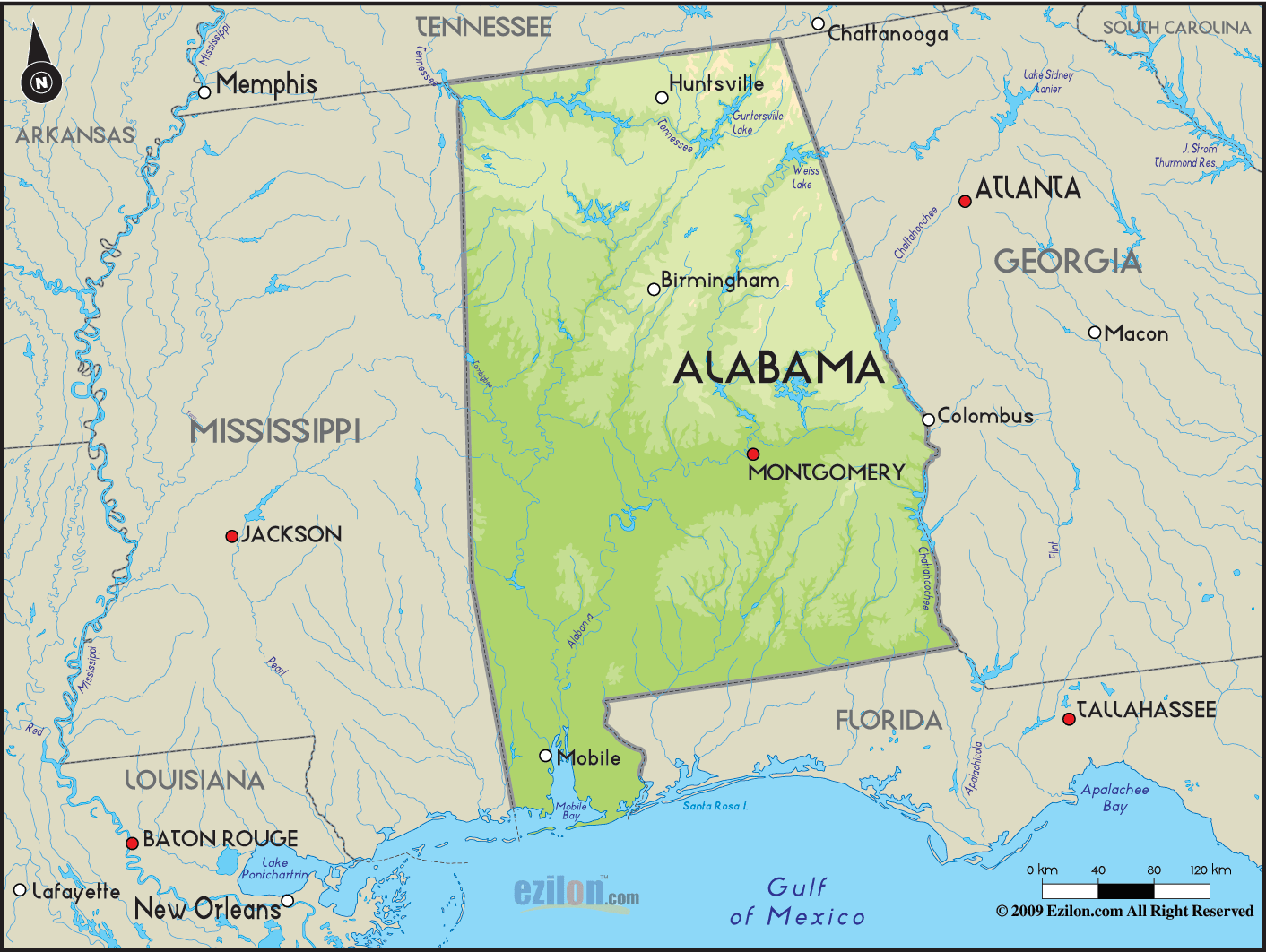
Physical Map of Alabama
Physical map and map image of Alabama.

Political Map of Alabama
Political map and map image of Alabama.

Regional Directory of United States of America
Information and guide about United States of America and websites with American topics.

Regional Directory of Europe
Information and guide about Europe and websites with European topics.

Regional Directory of Australia
Information and guide about Australia and websites with Australian topics.